UAV Study Platform
Advanced environmental monitoring and research platform for protected river ecosystems using UAV technology
Dashboard
Real-time monitoring and analytics
Wildlife Wiki
Interactive species database
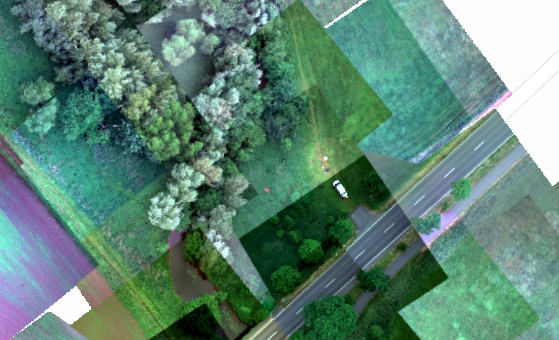
River Aa Renaturation Project
Restoring natural habitats and improving biodiversity along the protected river ecosystem
Project Timeline
Planning Phase (2011)
Initial concept and planning for restoration within the nature reserve
Implementation (August 2012 - Summer 2014)
Main renaturation works completed over 2-year period
Additional Sections
Westerholtsche Wiese (2018), Haus Coerde (2010), ongoing works since 2012
Project Investment
€1 Million
Total Project Cost
80%
State of North Rhine-Westphalia
20%
City of Münster
Project Objectives
Water Quality
Improvement of both River Aa and Aasee through re-establishing natural hydromorphology
Flood Protection
Enhanced protection through wider, more sinuous channel design reducing peak flows
Ecological Enhancement
New riparian habitats with improved connectivity for flora and fauna
Key Implementation Features
- Increased buffer zones between agricultural fields and riverbed to create natural barriers
- 210-meter restoration section at Westerholtsche Wiese (completed 2018)
- 320-meter section near Haus Coerde (completed 2010)
- Ongoing works at Hülshoffstraße, A1 & inner-city areas since 2012
Research Organisations
Institut für Geoinformatik

Master's Geotech