ArcGIS Story Maps
Explore Our Research Through ArcGIS Story Maps
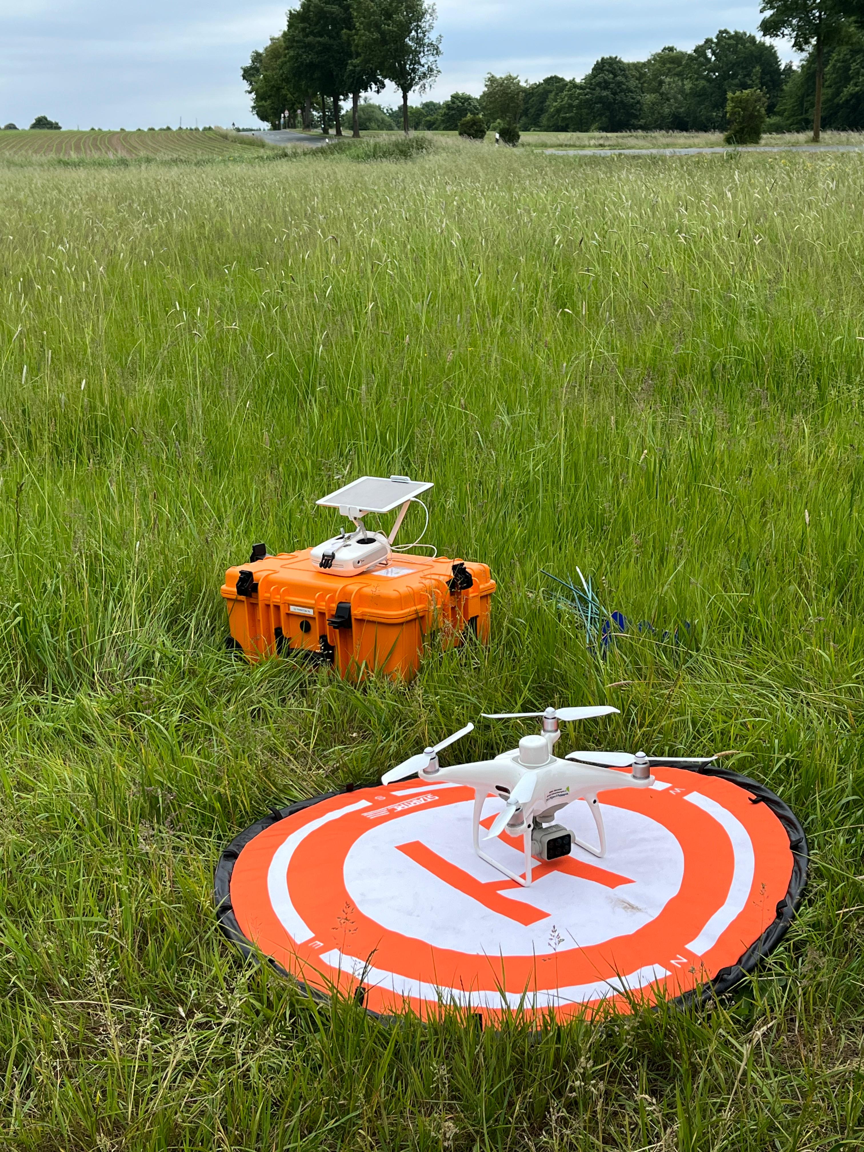
Discover the fascinating world of our protected river ecosystem through immersive, data-driven ArcGIS Story Maps that bring our UAV research to life.
Featured
Journey Through the Protected River Ecosystem
An immersive exploration of our study area, from source to delta, showcasing the diverse habitats and species discovered through UAV monitoring.
2025-07-15
Ecosystem
Biodiversity
Conservation
About ArcGIS Story Maps
Powerful tools for creating immersive, interactive narratives that combine maps, text, images, and multimedia
Our research team uses ArcGIS Story Maps to create compelling narratives about our UAV study of the protected river ecosystem. These interactive experiences allow you to explore our findings through maps, images, videos, and data visualizations.